Sunday, May 24, 2020

Rim Trail @ Bryce Canyon National Park


Name: Rim Trail
Location: Bryce Canyon National Park
Distance: 1 mile round trip from Sunrise Point to Sunset Point
Level: Easy
Dogs allowed? Yes, but only on the paved area
Note: Inspiration Point is also welcome to dogs too, but can only be accessed from the Rim Trail through the shared-use path. That's the paved and painted trail that's shared by bicyclists and pedestrians. You can also drive to Inspiration Point.
Directions: About a mile after the Visitor's Center, make a left towards the Bryce Canyon Lodge. There are a few parking lots you can park at, but how close you'll be depends on how busy it is.


History: Bryce Canyon National Park is home to the largest collection of hoodoos (irregularly-eroded rock spires) in the world. How lucky are we as Utahns to have this monumental landscape in our own backyard? Before this area was full of hoodoos, it was full of water between 40 and 55 million years ago. 

The hoodoos were formed from erosion out of the cliffs where rows of narrow walls/fins form. Frost-wedging enlarges cracks in these fins, creating holes or windows. As the windows grow, their tops eventually collapse, leaving a column. Rain further dissolves and sculpts these limestone pillars into bulbous spires called hoodoos.

The delicate climatic balance between snow and rain ensures that new hoodoos will emerge while others become reduced to lumps of clay.


Review: There are more than 65 miles of hiking trails in Bryce Canyon National Park. But only one mile of those trails are welcome to dogs. For the purpose of this blog post, we'll only be talking about that one, which is the Rim Trail from Sunrise Point to Sunset Point.

It's great that Bryce Canyon even offers a hiking trail for dogs, since many national parks don't. The Rim Trail is 11 miles round trip in totality, going to and from Fairyland Point on the north end of the park to Bryce Point on the south side. But only the three middle points: Inspiration, Sunset, and Sunrise are open to our four-legged furry family members.


The great thing about this hike is it gives you great panoramic views of the Bryce Amphitheater. So even though our family was limited to just one trail in the entire park, we were still able to get some stunning views of the hoodoos. As you walk from Sunrise Point to Sunset Point or vice versa, you'll notice the view of the landscape shift, which is super rad.


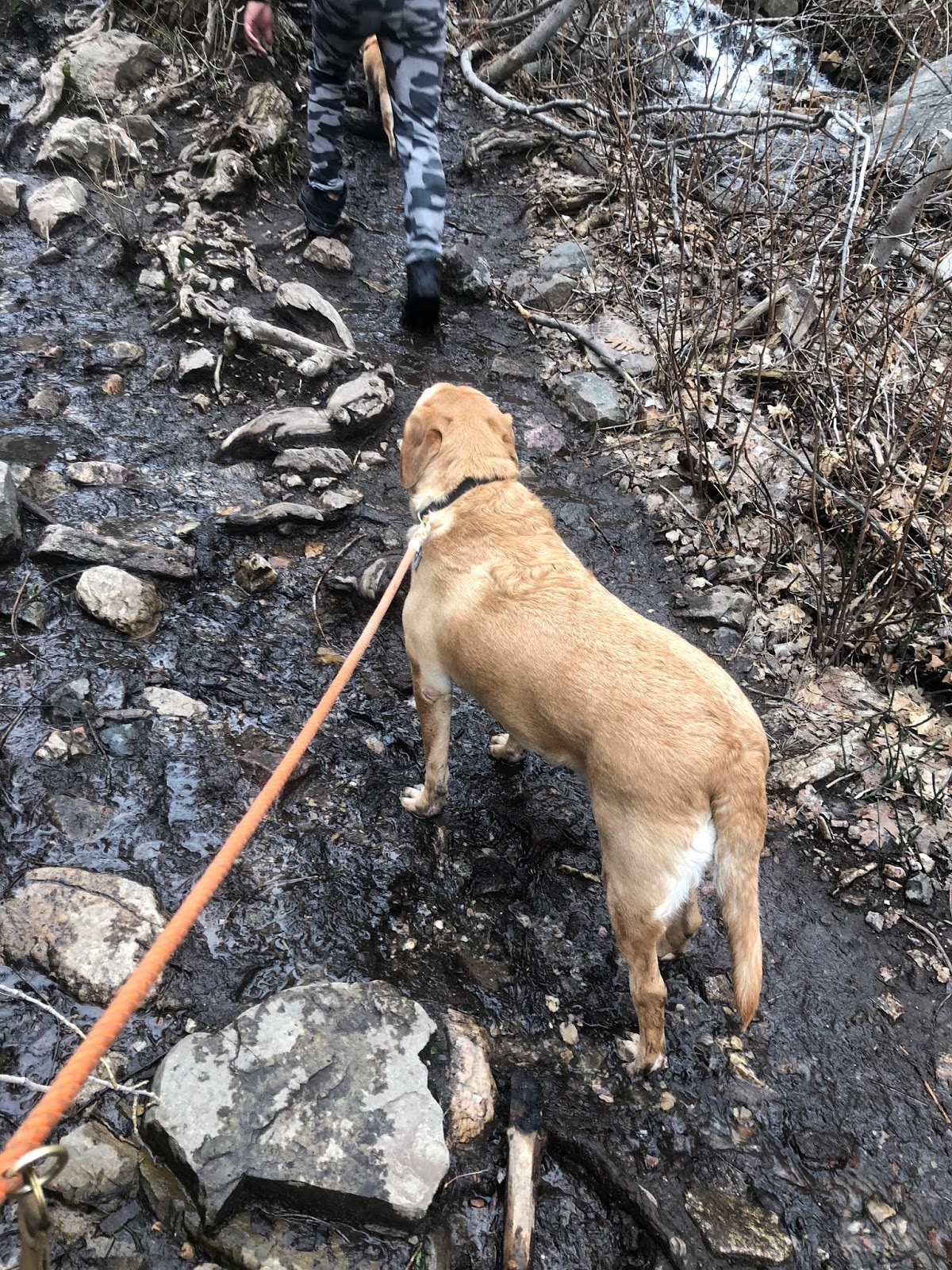
The entire dog-friendly pathway is paved so it's very hard to miss where your pup can and cannot be. We ran into a bunch of other furry families here. The pups enjoyed getting their sniffs and smells on.

It's a bummer that we couldn't go down into the amphitheater and hike the trails that take you through the hoodoos since dogs are not allowed down there. There's definitely a lot of limitations if you have your fur baby with you. But since our trip down to Bryce Canyon was short and quick, it worked out great for us!


Final notes: Bryce Canyon can get busy and full quickly on the weekends and during the holidays. We went during Memorial Day Weekend, but we arrived early in the day. We noticed on our way out though that visitors were being turned away. It was a little difficult to find parking, but they have multiple lots so you have options. Remember that Southern Utah gets really hot in the summer time, so consider keeping your pup at home or somewhere safe if temperatures will be high. Consider going to Kodachrome Basin State Park nearby if you have another day you'd like to spend in the area and want to bring your dog along.

Saturday, May 23, 2020

Panorama Trail @ Kodachrome Basin State Park

(At the top of Panorama Point)

Name: Panorama Trail
Location: Kodachrome Basin State Park (Cannonville, UT)
Distance: This trail can be done either as a 3-mile or 6-mile loop
Level: Easy (Moderate in some parts that are optional)
Dogs allowed? Yes, but must be leashed
Note: Cell signal is poor in this area
Directions: After entering Kodachrome Basin State Park from the Visitor's Center side, drive 0.45 miles until you see the parking lot for the Grand Parade Trail. Park there and the Panorama Trailhead is just across the street


History: Kodachrome Basin State Park was named by the National Geographic Society in 1949 with consent from the Kodak Film Corporation because of its color and contrast.

Perhaps its most unique feature - the park has nearly 70 monolithic spires that range from six to 170 feet in height. It also has towering sandstone chimneys that change in color and shadow with the day's mood. 

Each rock layer in the landscape reveals a chapter in Kodachrome Basin's history, such as when this desert was once covered by vast inland seas and raging rivers. It reveals times of great violence and upheaval and times of relative peace as well as how the relentless power of wind and water shaped the landscape you see there.


(Indian Cave has these ghastly-looking hand prints in the rock)

Review:
This is a great trail to take if you only have enough time to choose one trail with your dog in Kodachrome Basin State Park. Don't let the mileage scare you. The trail is mostly flat and only gets steep if you choose to explore some of the features, such as Panorama Point.

Out of the five trails available here, Panorama Trail is the longest one with the most sights to see. The other four trails are all less than 1.7 miles long, so might as well do this one if you have the time.


(Panorama Trailhead)

The trailhead was pretty easy to find. Once you enter the park, follow the road for about 0.45 miles until you see the parking lot on your right (if you're coming from the Visitor Center) for the Grand Parade Trail. Once you park there, just cross the street to begin the Panorama Trail. These two trailheads are just across from one another.


(Behind the scenes of the picture I took of Dug in front of Ballerina Spire)

(Can you see the ballerina's pointed foot?)

The some of the main features that you can see on this trail is the Indian Cave, Ballerina Spire, Hat Shop, Secret Passage, Cool Cave, Mammoth Spire, and Panorama Point (in that order too). If you decide to pass on Cool Cave, you can shave about 1.5 miles off your hike as well as another 0.6 miles if you pass on Panorama Point. But if you have the time, I'd recommend checking it out.

We went during Memorial Day Weekend and expected a lot more people here. When we hiked the Panorama Trail, I would say we only cross paths with a handful of other people, hence why I called this place a hidden gem since it probably gets overshadowed by the nearby Bryce Canyon National Park.
(You can see how windy it was in this picture based on Jason's hair.
We opted for a selfie since no one was around to take our picture)

(Panorama Point)

(Flip around to get this other beautiful place at Panorama Point)

(We're guessing the strong winds knocked the sign over)

On the day we went, it was super windy but it helped us understand how these formations came to be. We're talking about millions of years in history that shaped this landscape through wind and sand. However, it made Panorama Point a little harder to endure because of how much higher up it was. We tried to get a picture with both of us and the dog, but there was no way a tripod would be able to stand in that wind.


(Entrance to the State Park)
(Hat Shop, where groups of hoo doos literally look like a shop full of hats)
(Cool Cave)
(Mammoth Spire)

Our dog definitely enjoyed it. On a hot day, there are plenty of areas for shade depending on where the sun is. There's trees, caves, and and of course, all of the formations that provide large patches of shade if you're on the opposite side of where the sun's hitting.


Weather: Overall, what you need to know is that spring time (April, May, and June) generally has very pleasant temperatures for recreational activity. It's warm in the daytime, but can drop into the 20s overnight so keep that in mind when you're camping. We camped at a place called Ruby's Inn RV Park and Campground (it was the only place left with available sites), which is down the street from Bryce Canyon National Park and it was FREEZING. But we were prepared.


(Along the trail, you'll cross over some gulches where evidence of flash floods can be seen.)

Summer time
(late June, July, August, and early September) are the hottest months in the park. Daytime highs are in the 90s to near 100 degrees. So bring lots of water (one gallon per person recommended and don't forget a supply for your dog too!) and hike early or later in the evening if possible. However, nighttime temperatures are perfect for sleeping and often drop into the 50s.

Summer thunderstorms can bring frequent and extreme cloud-to-ground lightning strikes. Seek shelter anytime there are thunderstorms in the area as they can produce large amounts of rain and lead to flash flooding in low-lying areas, washes, canyons, and streams.

In the fall (late September and early October), warm days and cool nights are the norm with daytime highs in the 70s and overnight lows in the 30s. By the middle of October, nights can get very cold. Come winter (December to March), daytime highs are not often much above freezing point. Overnight lows can be well below zero. Heavy snow can occur, which make traveling and outdoor activities dangerous, if not impossible.

 (Lots of pretty cacti along the way)
 (Check out this eerie face in the formation)

Final notes: Be aware that you can run into rattlesnakes, scorpions, and poisonous spiders in this area. We didn't run into any, but always look before putting your hands in or under vegetation. Always carry a light if you begin hiking during the later part of the day and have a chance of returning after the sun sets. Check road and weather conditions before you go and make sure your car is suitable for the terrain if you're going during rough weather. Know that there is no cell signal in this area so always let someone know your itinerary or where you're going in case anything happens.

Sunday, April 26, 2020

Flag Rock & Patsy's Mine (Farmington, UT)


Name: Flag Rock & Patsy's Mine
Location: Farmington, UT
Distance: Between 3.3 to 4.2 miles round trip (depending on which side you take)
Elevation gain: ~1051 ft.
Level: Difficult
Dogs allowed? Yes, but must be leashed


Directions: There are two trailheads to get up to Flag Rock. We recommend taking the North Trailhead, which is supposedly the one less traveled. The reason we prefer it is because it's more shaded (but not by much) than the South Trailhead and it's not straight up since it has more switchbacks. For us, it was the easier way up.

To get to the North Trailhead,  use the coordinates 40.989779,-111.879436 in Google Maps. It's recommended that you have a high clearance vehicle to get on Firebreak Road. When we went though, there was construction in the neighborhood and a "Private Property" sign in the cul-de-sac blocking the unpaved road we needed to access. Jason didn't feel comfortable going up so we parked down there and hiked probably another 0.5 mile up just to get to the trailhead.

To get to the South Trailhead, just type in "Patsy's Mine Trailhead, Farmington, UT" in the Google Maps app to get there. There's a parking lot in the neighborhood on the south side of 100 North that you can park at. On busy days, it can get full quickly.

Keep in mind that if you want to see Patsy's Mine first on your way up, then you should take the South side. For us, Patsy's Mine was a great reward coming down since the temperatures were so much cooler inside.


History: According to the City of Farmington's website, the flag was originally placed by Randy West to commemorate first responders and emergency personnel who lost their lives in the September 11th attack.  The Standard Examiner reported West and his brother built the trail on the north side in 2002. Each year on the anniversary, West and the Farmington Fire Department hosts an annual hike with the community to remember and honor those who died.

The climb symbolizes the club the rescuers took up the Twin Tower stairs since the elevators were, of course, not usable. The most awesome fact about all this is the height from the top of 100 North to the flag is the SAME HEIGHT of the Twin Towers before its collapse at 1,353 feet. How insightful is that? Take the time to reflect on that as you're hiking up. It makes the trek a lot more meaningful.


Review: This was quite an ambitious hike for us to tackle as our first of the season! Quarantining and working from home during the COVID-19 has definitely put us out of shape. One of the reasons why we wanted to do it though is because the air quality has been so great lately with people staying home. Normally, the ozone or inversion would create a fogging haze over the valley, but right now, there's a clear view at the top.

Know that no matter which way you take, you will be facing a steep incline all the way up. You can actually see Flag Rock and the waving flag from the very beginning of the trailhead, which actually makes it a little bit more intimidating since it seems so small and far away. It's a great workout for your legs, working out those glutes and thighs on the way up and then your calves and toes on the way down.

Another major thing to note about this trail is it is almost entirely exposed in the sun. Shade is rare and if you're not hiking earlier in the morning or later in the evening, you're going to feel the burn of the sun if you're hiking on a warmer day. Be especially cautious about this if you're taking a dog, as their body temperatures heat up faster than ours do. Bring twice or triple the amount of water that you think you'll need. We killed our entire water supply on the way up and definitely regretted it on the way down.

(Look closely to see the snake)

There are some parts of the trail that get extremely narrow, which makes social distancing hard when you're crossing paths with someone going the opposite direction. Watch out for wildlife - Jason said he saw a rattlesnake on our way up.


The top is beautiful and provides an awesome aerial view of Davis County, but there's not a lot of room if there's more than three or four other groups waiting to get their picture with the flag. There's a bench area that's great to sit at and picnic at. Be patient, so that you can get that perfect shot of the flag waving out in full stars and stripes. (Note: It's particularly tough to get the perfect timing with the flag AND a dog looking at the camera)


On our way down, we stopped at Patsy's Mine, which was dramatically cooler inside than the temperatures outside. I want to say it was a 20 to 30 degree drop. The ground was wet with puddles from what I'm guessing was melting snowfall. Make sure you bring a flashlight or the light on your cell phone works too. If there are people coming out of the cave as you're going in, there's enough room to pass, but definitely not enough to social distance. It's a cool little area to check out for a nice shaded break and some spelunking. Not recommended for those who are claustrophobic.


Final notes: Be prepared to be sore if you're out of shape like we were after the end of this hike. The incline up AND down is no joke. Don't underestimate the heat on warm days and bring lots of water. I have a small bladder, but didn't have the urge to use the bathroom once during this hike because my body needed all the water it could get. If you're bringing a dog on a warm day, bring booties to be safe because the ground can get very hot for their paws. Don't forget their water supply as well and take the time to soak in the beauty at the top if you can. The meaning of this hike makes the reward much more satisfying.

Sunday, April 7, 2019

Waterfall Canyon (Ogden, UT)


Name: Waterfall Canyon
Location: Ogden, UT
Distance: 2.4 miles round trip
Level: Moderate
Dogs allowed? Yes, but must be leashed
Directions: Type in "29th Street Trailhead" in Google Maps OR use coordinates 41.2107204, -111.9318813

Review: Waterfall Canyon is a great hike if you're getting back into hiking shape like we are. Although the distance is not very long, it's an incline most of the way up. The trail will start out with a paved path until about 0.4 miles in, then it'll switch to a rocky terrain that requires some climbing. It's a good way to work out your core on the way up and then your legs on the way down.


We hiked this trail on a Sunday morning, so it wasn't crowded. If you end up going on a day when there's a lot of people, it will definitely take longer to get up and down because there's quite a few parts where it gets narrow. Since we had three dogs in our group, we ended up moving aside and letting faster hikers in front of us so we didn't hold them up.


On hot days, I recommend doing this hike earlier in the morning or later in the afternoon.The weather was overcast when we went, which was perfect because it didn't get too hot. However, the snow is still melting in the canyon so during the last quarter mile of the hike, we encountered quite a bit of mud and water flowing through the trail.


The waterfall itself is pretty cool. It's quite tall. The water splashes onto you once you get to the top, which makes for a great reward on a hot day. There's a lot of rocks for people to sit, picnic, and hang out.

I actually thought going down was harder than going up because of the incline. Since there was a lot of mud and water, we had to be careful not to slip and fall. Having to keep our dogs leashed was tough too, because all it takes is one yank when you're not prepared and BOOM! Down you go.

We saw quite a few kids on the trail, so it's definitely a family-friendly hike. Count on awesome views of the valley on the way down!